INTRODUCING
BOOKINGS ON WIKICAMPS
Whyalla City Walk
 Point of Interest
Description
The City Walk, in the north-eastern end of the city, encompasses many of the city's historical sites including where some of the first buildings were located. From the top of Hummock Hill there are panoramic views of the city, Spencer Gulf and Flinders Ranges. While at the top of the hill you can examine the guns used to protect the township during World War II.
Beginning and ending at the corner of Jamieson and Horwood Streets, the trail follows the Whyalla steelworks fence on the northern side of Hummock Hill to the top and then winds down to the central business district. Interpretive signs along the trail explain the history of the settlement, industrial history, natural and maritime heritage, and the city's unique architecture.
The trail up to Hummock Hill is walking trail, but can be steep, and towards the top merges with the road. When walking clockwise, coming down from Hummock Hill, most trail users would identify the trail simply as a bike lane.
Follow the red route markers. The trail is marked on the town map in the Whyalla Visitor Guide, the trail is marked in yellow.
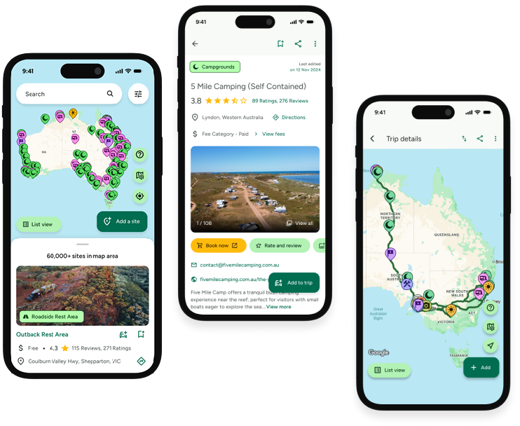
Find this site and more on WikiCamps
Take the ultimate camping companion on your next trip, with these great features:
![]() Explore more than 60,000 sites across Australia with detailed site information at your fingertips
Explore more than 60,000 sites across Australia with detailed site information at your fingertips
![]() Stay in the know with exclusive, insightful reviews from fellow travellers
Stay in the know with exclusive, insightful reviews from fellow travellers
![]() Map journeys, plan your route, and gauge your fuel spend with Trip Planner
Map journeys, plan your route, and gauge your fuel spend with Trip Planner
![]() No signal? No worries! Use offline mode to travel anywhere with WikiCamps
No signal? No worries! Use offline mode to travel anywhere with WikiCamps
![]() Add sites to your collections, search with intuitive filters, and so much more...
Add sites to your collections, search with intuitive filters, and so much more...
Get WikiCamps now!
Download WikiCamps from the App Store on your device.

