INTRODUCING
BOOKINGS ON WIKICAMPS
Algebuckina Bridge
Description
The Algebuckina Bridge is a Victorian era railway bridge located about 55 kilometres south-east of the town of Oodnadatta. The bridge was built over the Neales River to allow the Ghan train to cross during floods.
The Algebuckina Bridge is easily accessible from the Oodnadatta track, approximately 56km south of Oodnadatta and 145km north of William Creek.
Do not attempt to walk across the bridge. Remain within the safety barricades.
This area is prone to flooding.
It is recommended that if rain is falling you make your way to either William Creek or Oodnadatta ASAP and assess the weather forecast. If wet weather is forecast it would be wise to make your way to the bitumen if possible.
Do not attempt to travel through flooded waterways.
Use the designated camping area if overnighting. Take your rubbish with you. Respect the landscape. Respect the biosecurity.
Find this site and more on WikiCamps
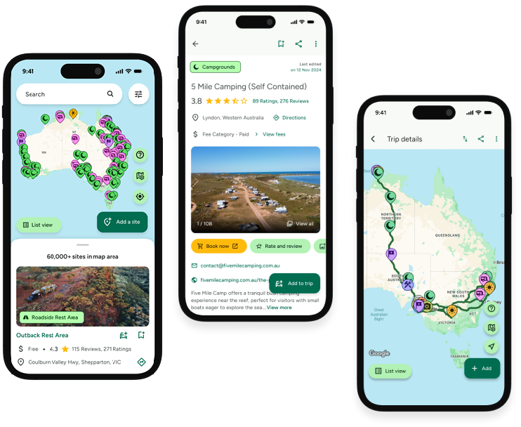
Take the ultimate camping companion on your next trip, with these great features:
![]() Explore more than 60,000 sites across Australia with detailed site information at your fingertips
Explore more than 60,000 sites across Australia with detailed site information at your fingertips
![]() Stay in the know with exclusive, insightful reviews from fellow travellers
Stay in the know with exclusive, insightful reviews from fellow travellers
![]() Map journeys, plan your route, and gauge your fuel spend with Trip Planner
Map journeys, plan your route, and gauge your fuel spend with Trip Planner
![]() No signal? No worries! Use offline mode to travel anywhere with WikiCamps
No signal? No worries! Use offline mode to travel anywhere with WikiCamps
![]() Add sites to your collections, search with intuitive filters, and so much more...
Add sites to your collections, search with intuitive filters, and so much more...

Get WikiCamps now!
Download WikiCamps from the App Store on your device.

