INTRODUCING
BOOKINGS ON WIKICAMPS
Gunn Point Beach North
Description
Gunn Point is believed to be named after Lieut. Gordon S Gunn an officer on HMS Flying Fish which in July 1886, under the command of Capt. JP Maclear, RN, charted the Clarence Strait. During the WW2 defence of Darwin, Gunn Point had the code name Cannon.
Formerly part of Koolpinyah Station, approximately 90% of Gunn Point Peninsula is held by the Northern Territory Land Corporation as a Crown Lease in Perpetuity. Murrumujuk Beach and adjacent areas are maintained as private land available for public use. The name Murrumujuk is of Aboriginal origin and relates to whale dreaming.
The NT Land Corporation has allowed public access and encouraged responsible use of the Gunn Point Peninsula since it acquired the land in 1989. The Corporation aims to preserve the areas long term potential for future tourism, residential and strategic economic activities including agricultural/horticultural purposes.
Gunn Point Peninsula is available for the public to enjoy and visitors are asked to be mindful of their impact on the areas natural environment.
Find this site and more on WikiCamps
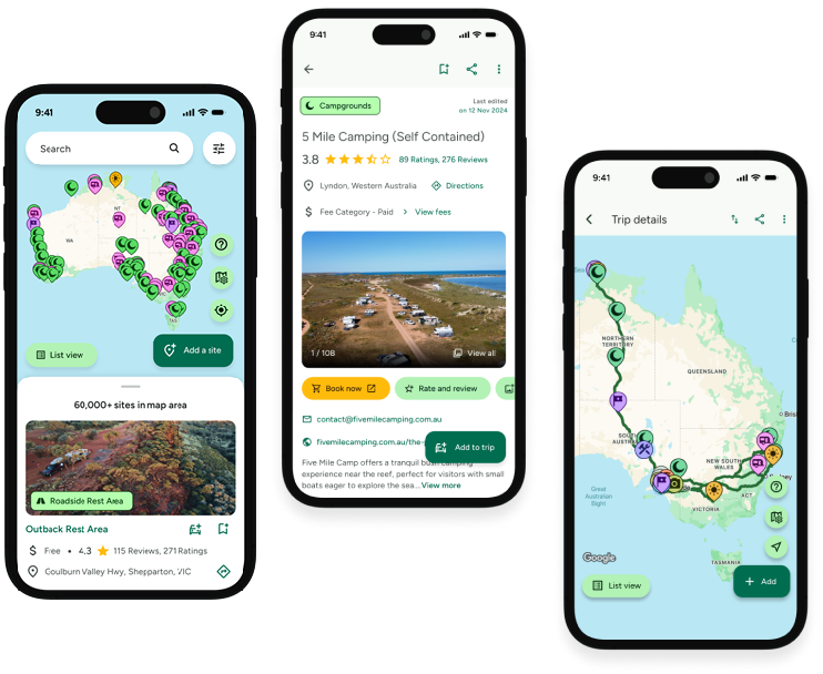
Take the ultimate camping companion on your next trip, with these great features:
![]() Explore more than 60,000 sites across Australia with detailed site information at your fingertips
Explore more than 60,000 sites across Australia with detailed site information at your fingertips
![]() Stay in the know with exclusive, insightful reviews from fellow travellers
Stay in the know with exclusive, insightful reviews from fellow travellers
![]() Map journeys, plan your route, and gauge your fuel spend with Trip Planner
Map journeys, plan your route, and gauge your fuel spend with Trip Planner
![]() No signal? No worries! Use offline mode to travel anywhere with WikiCamps
No signal? No worries! Use offline mode to travel anywhere with WikiCamps
![]() Add sites to your collections, search with intuitive filters, and so much more...
Add sites to your collections, search with intuitive filters, and so much more...

Get WikiCamps now!
Download WikiCamps from the App Store on your device.

